.

.

27 Dec 2021

Demonstration of 3D integration and correlation of marine geophysical data

Watch here our demo of marine geophysical data 3D integration and correlation for analysis, and visualisation of shipwreck ruins and for interpretation of physical processes over wreck sites. 

Read more and learn here how the 4D integration and correlation of marine geophysical data provide knowledge on wreck site evolution through time.


In-depth results of the 'Evolved GE.N.ESIS Project' have been published

In-depth results of the 'Evolved GE.N.ESIS Project' have been published.

Follow this link to the Journal of Marine Science and Engineering to read about  'The Benefits of 3D and 4D Synthesis of Marine Geophysical Datasets for Analysis and Visualisation of Shipwrecks, and for Interpretation of Physical Processes over Shipwreck Sites: A Case Study off Methoni, Greece'.

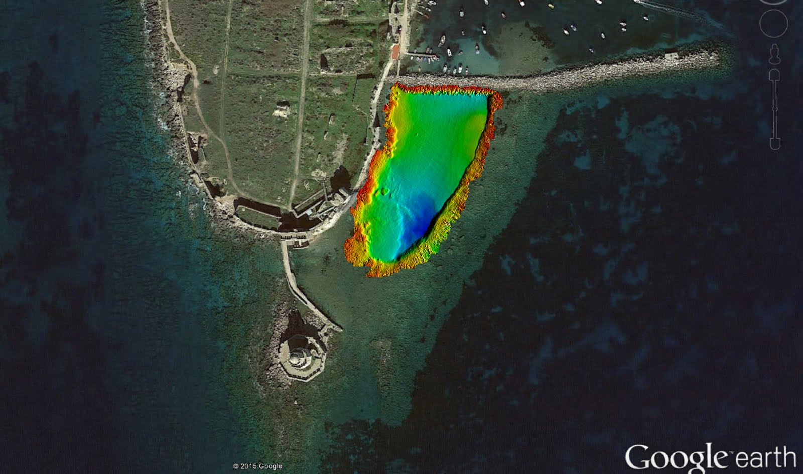
Through the study of three wreck sites over the Methoni Bay (Greece), the article presents the benefits of spatio-temporal integration and correlation of marine geophysical data in a common 3D geographical platform for analysis, and visualisation of shipwreck ruins and for interpretation of physical processes over wreck sites. The integration of 3D datasets has been proven to support identification of archaeological features over and under the seafloor, evaluation of the wreck structure state, and assessment on the wrecking event and the wreck site arrangement at that time, due to interactive cross-examination of datasets acquired in separate planes. Data synthesis is fundamental for 3D digital reconstruction of scattered and partially buried shipwreck ruins in complex geology as every dataset acts as interpretive and complimentary to each other. It is also shown that data synthesis highlights the signatures of physical processes over the wreck sites, and the interaction between the processes and the shipwrecks. The analysis of spatio-temporal (4D) integrated datasets has proved to provide knowledge on the wreck site evolution through time, and highlights the disturbance of underwater archaeological resources due to human activities. The study has also shown that the creation of a shoalest depth true position bathymetric surface supports the realistic 3D wreck representation over the seafloor.

29 Sept 2019

The preliminary results of the 'Evolved GE.N.ESIS Project' have been published

The preliminary results of the 'Evolved GE.N.ESIS Project' have been published. 

Follow this link to the Journal of Cultural Heritage to read the article 'A marine geoarchaeological investigation for the cultural anthesis and the sustainable growth of Methoni, Greece' and learn more about how methods in Hydrography and Marine Geophysics have been used for 3D reconstruction of the Methoni ancient harbour and breakwater, the submerged prehistoric settlement, the shipwrecks and artefacts off Methoni and how these methods support locally the underwater cultural heritage management and the blue growth. 

In case you you are not subscribed to the Journal of Cultural Heritageyou may ask for a copy of the article (in line with Elsevier Masson SAS terms) through the ''Contact Us'' page. 

According to the preliminary results, there is a dense distribution of underwater antiquities over Methoni Bay/Strait, and the archaeological potential in the area is high. Marine Knowledge has been gained on archaeological feature evolution for degradation monitoring, for assessment of the human impact on the underwater cultural resources, and for an assessment of the implications for future site vulnerability. The results provide information for a better understanding and monitoring of the local physical processes, and of the human impact on the seafloor.

The underwater archaeological findings constitute a prominent element of the local coastal resources. An underwater archaeological park should be established off Methoni and a site management plan should be locally implemented, acknowledging the heritage resources as a driver for tourism and local socioeconomic development. An underwater archaeological park in the area is expected to support new investments, income generation, social cohesion, civic pride, tradition enhancement, and educational opportunities. For ensuring the sustainability of the site development, an integrated coastal management plan should be established in the area so that maritime synergies are highlighted and negative socioeconomic impacts or maritime conflicts among human activities, archaeological resources, and the local environment are identified, avoided, or reduced through an environmental impact assessment and through the application of maritime spatial planning. 

Below, features of archaeological interest off Methoni are shown through synthesis of geophysical and hydrographic data.  

3D synthesis of hydrographic, geophysical and geospatial data over a wreck site. Bathymetry is shown colour-coded highlighting archaeological features and scattered debris on the seafloor. Time-series plot of magnetic data along a transect is shown in purple colour. RTK positioning of a shipwreck, cannons and other artefacts resulted in the white survey drawings. Photo credits: P. Gkionis, EUA


3D visualisation of the submerged ancient breakwater and Methoni harbour. Bathymetry is shown vertically exaggerated   and gridded at 0.2m. Background map data source: Google


Recordings of a feature of archaeological interest off Methoni. Top (a): 3D visualisation of the wrecked cargo, through bathymetric data, gridded at 0.25m. Bottom left (b): Sidescan data of the wreck site, co-registered to the 3D bathymetric surface (the wrecked cargo inside the yellow ellipsis). Bottom right (c): Underwater camera capture of the actual feature. Photo credits: P. Gkionis, EUA


Sidescan sonar mosaic showing high backscatter intensity (darker tones) from the prehistoric settlement surficial ruins (in the yellow circle) off Methoni, as well as from pebbles, artefacts and shipwrecks.


Sidescan mosaic of a wreck site (outlined by the blue ellipsis) in close proximity to the prehistoric settlement. The magnetic anomaly map of the site is shown draped on the acoustic imagery highlighting material of archaeological interest. On the mosaic pebbles (a) and shipwreck ruins (b) are showing high backscatter and are represented with relatively dark tones, while sand (c) is showing low backscatter and is represented with relatively light tones


Chirp seismic reflection profile documenting the prehistoric settlement extent along a boat transect. Left (a): Section of a seismic profile with interpretation showing the acoustic horizon referring to the prehistoric settlement (green line) to be extending beyond the surficial ruins and the acoustic horizon (yellow line) representing the palaeosurface over which the settlement was built. Right (b): Section location, over sidescan mosaic, showing the acoustic horizon referring to the surficial and buried prehistoric settlement ruins (green segment). Topographic plans of the settlement ruins (beige drawings) from archaeological surveys in 1999 have been georeferenced and draped on the mosaic


Seismic profile across a wreck site and the interpretation (in yellow) of buried shipwreck ruins/artefacts

29 Apr 2016

Welcome to the 'Evolved GE.N.ESIS project'

Welcome to the 'Evolved GE.N.ESIS project'. Welcome to the world of Hydrography, Marine Geophysics and their applied methods in support of Underwater Archaeology, Marine Knowledge and sustainable growth.

Through our web pages you can have an insight of the project concept and activities. Our blog content will be evolving as the project outcomes are coming to light gradually. Hence, keep in touch for the latest news, press or paper releases and feel free to contact us for your comments or queries.